
Narrow your results
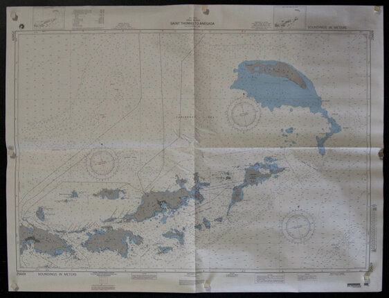
Saint Thomas To Anegada - West Indies Virgin Islands (Nautical Map)
Poster ID: CL77494
Category: Miscellaneous/Map
Year: 1990s
Country: American
Approximate Size 36 x 48 inches
Condition: Very Good
Price: $125
1996. 5th Ed. March 1996. Nautical Map of West Indies/Virgin Islands. Data Source originally from 1986.
Keywords: horizontal,maps,Islands,Sailing,Caribbean,North Atlantic Ocean,Nautics,Nautical